
Our Surroundings
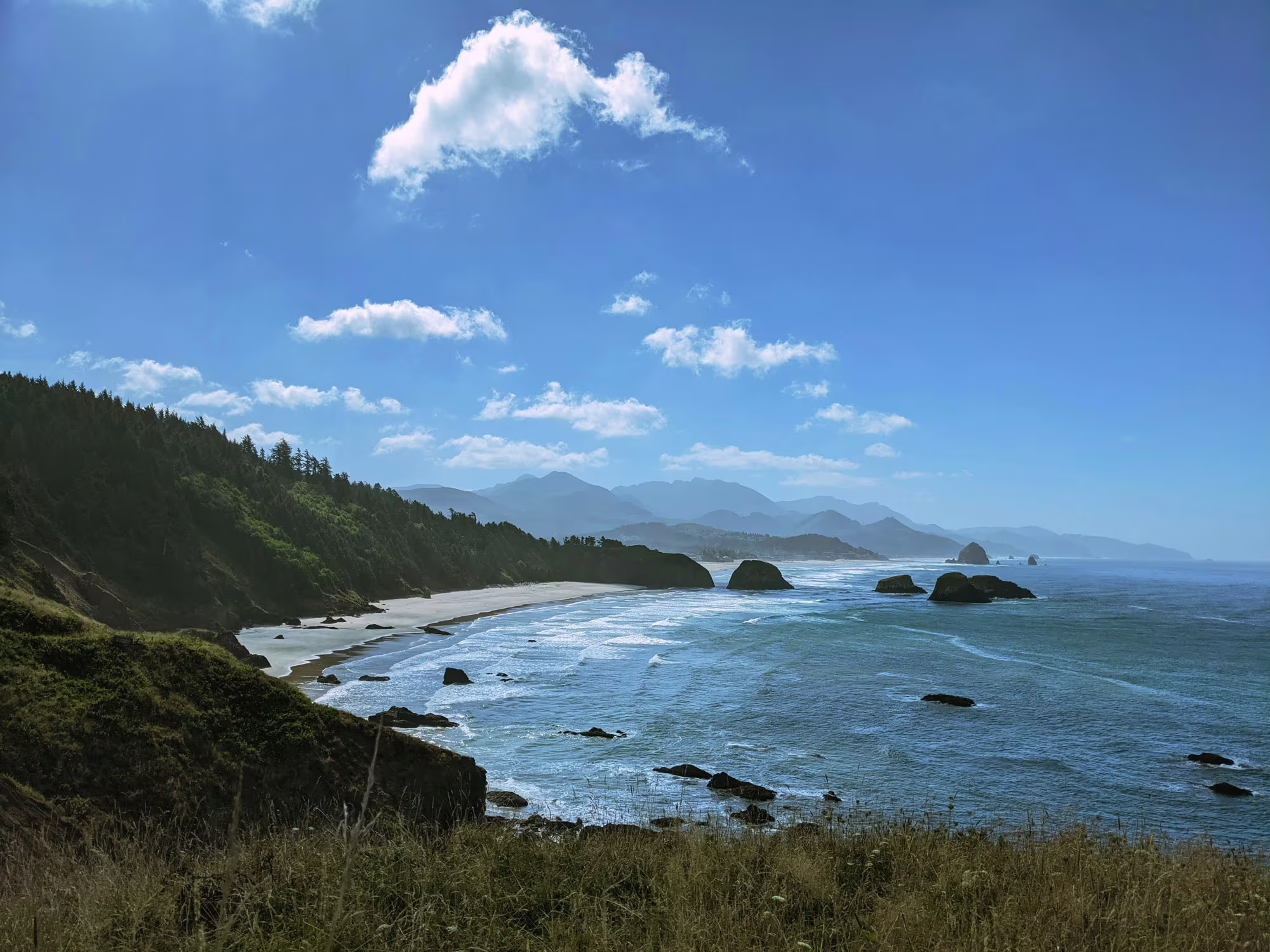
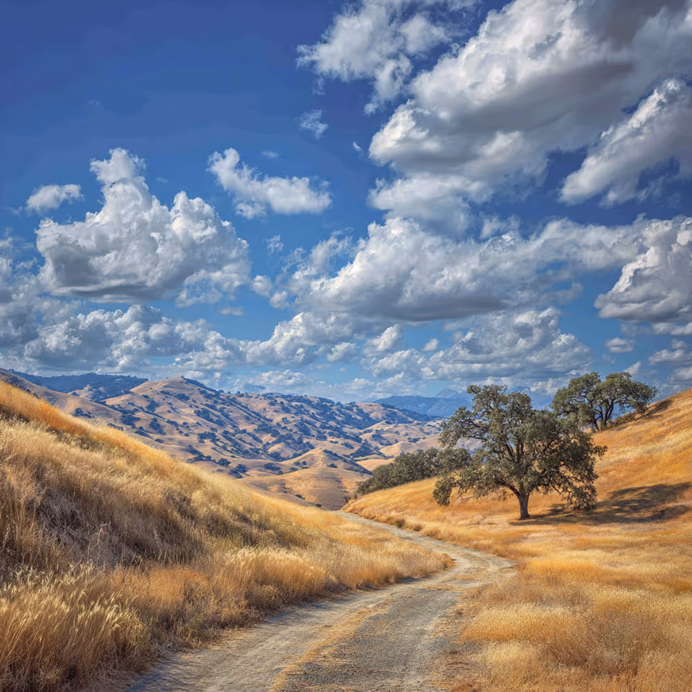
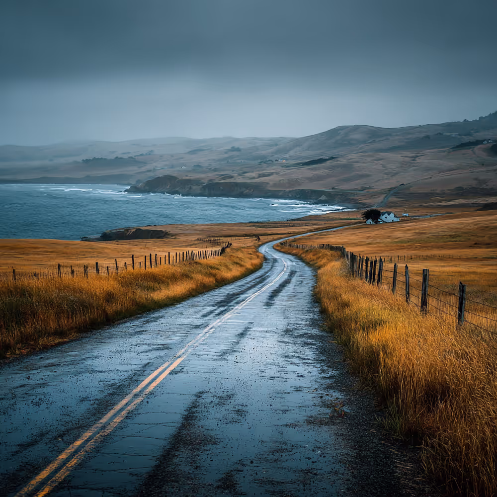
The Northern California coast is just beyond your cabin door. West Marin delivers awe without pretense: organic farms with mouthwatering produce, timeless beaches, and trails that reward the journey. The climate here defies prediction but avoids extremes – rarely too hot, rarely too cold – perfect for presence over planning.
This guide offers a selective collection of experiences that echo Dancing Coyote Beach's philosophy: the essential elements for connection, nothing more.
The Weather
The weather in West Marin is highly variable. You might experience five different varieties of weather in a single day; The morning might be warm and sunny and the afternoon might be windy and cool. It is rarely hot, and we rarely get a frost, so no extremes! All year round we have sun, fog, clouds, breezes and wind, and hopefully plenty of rain in winter. The weather typically cools in the evening so come prepared for fluctuations in weather. Think layers. You might want a cap, scarf, or even light gloves. Think rain gear for winter visits. Pack casual and good walking shoes. There is rarely a reason to dress up around here. Even the best of our restaurants are accustomed to locals and visitors in casual dress, although of course it’s also fine to step it up a notch for dinner out.

Enjoying the Great Outdoors
The area is abundant with trails, beaches, vistas, places to hike, picnic, run, bike ride, boat, bird watch, photograph, swim, tidepool, horseback ride and opportunities to just relax. Or, when you arrive, visit Park Headquarters or Point Reyes Books to pick up maps and guidebooks and get your bearings. Talk to the friendly locals (ultimately the best source of information!). Here are some resources for you. All of the suggestions listed here are within a short (and beautiful) drive of your lodging at Dancing Coyote Beach.
Point Reyes National Seashore Park Headquarters
1 Bear Valley Road, Point Reyes Station
5+ miles from Dancing Coyote Beach
The Bear Valley Visitor Center (at Park Headquarters) provides an excellent orientation to the park’s roads, trails and beaches, as well as human and natural history. It’s also a departure point for picnicking and some gentle hikes, as well as a lovely rainy day destination.
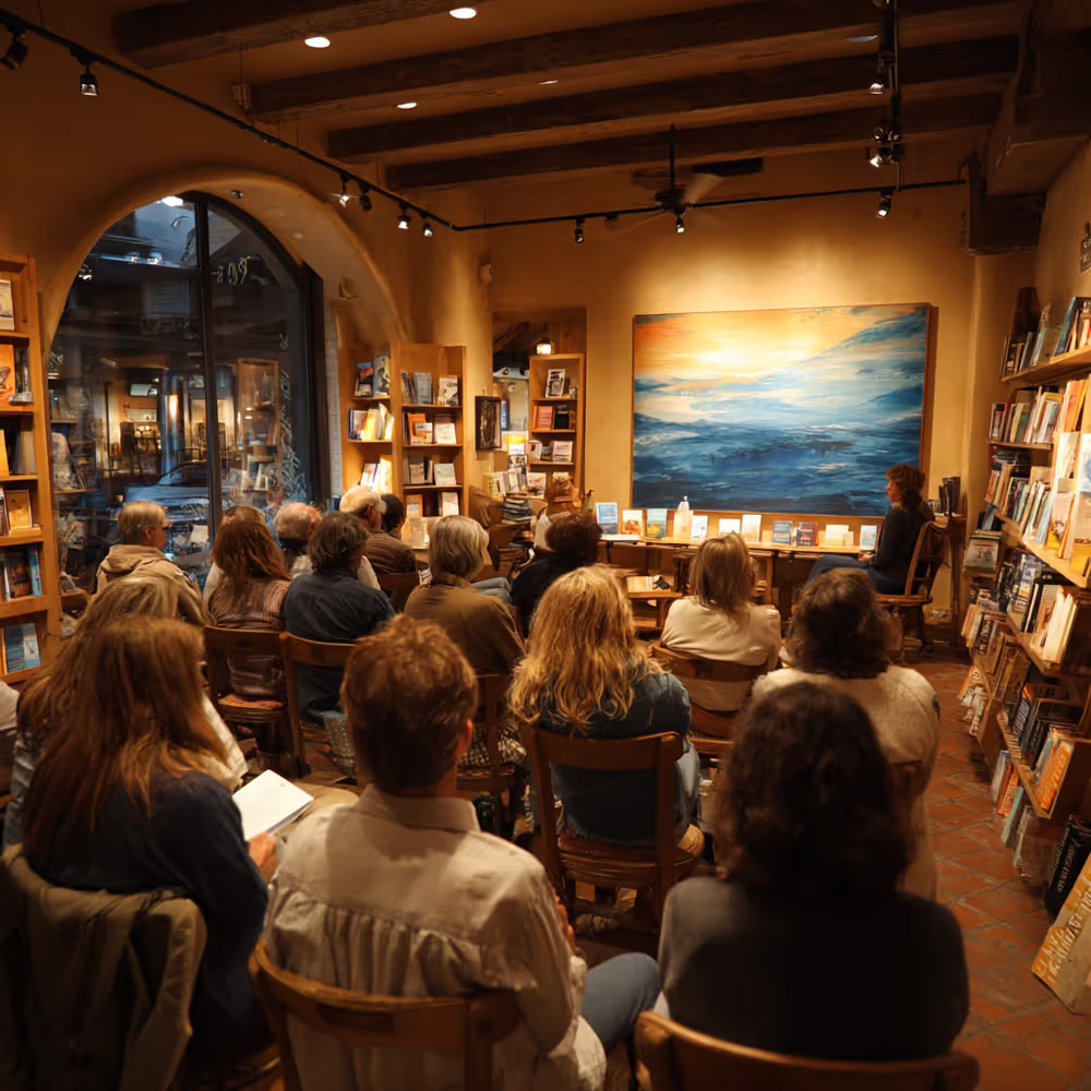
Point Reyes Books
11315 State Route One, Point Reyes Station
5+ miles from Dancing Coyote Beach
This award-winning independent bookstore is a good source for books about the area, a wonderful rainy day hang, and a producer of many excellent evening events. Check out their website.
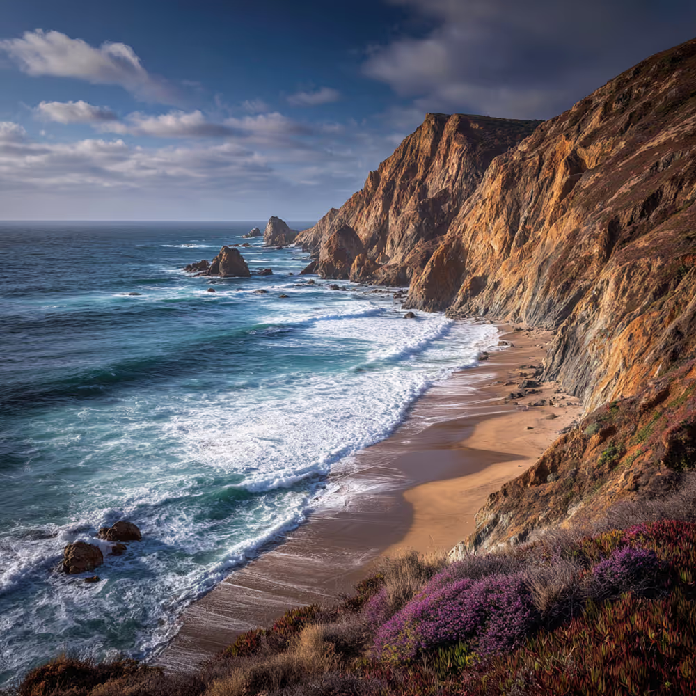
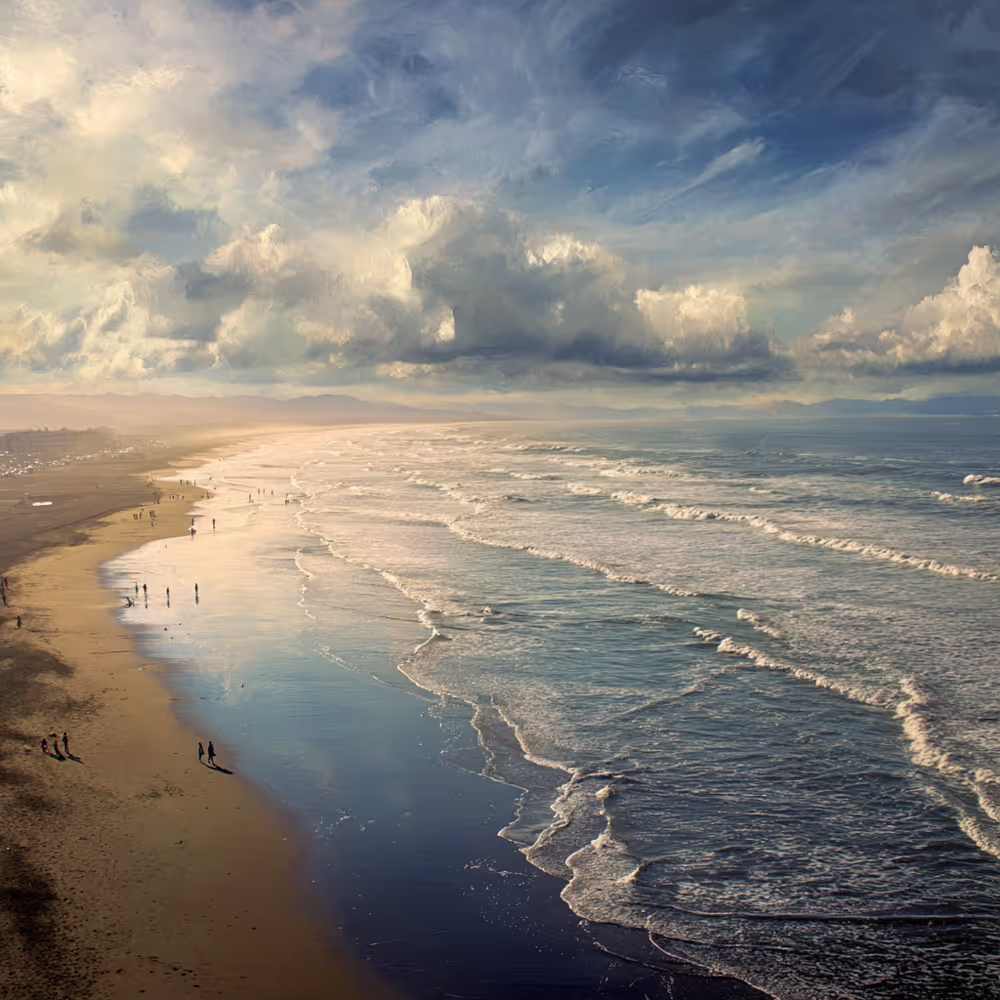
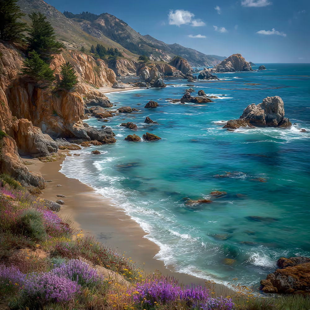
Beaches on the Ocean
The Point Reyes National Seashore is renowned for its 80 miles of shoreline. There are drive-to beaches, hike-in beaches, dog–friendly beaches, beaches for tide pooling and beaches where wood fires may be enjoyed with a permit. You’ll find all of those descriptions and details right here.
Parking areas for all the ocean beaches are between 6-12 miles from Dancing Coyote Beach.
Our favorite ocean beaches include Abbotts Lagoon, Drake’s Beach, Limantour Beach, The Great Beach, Kehoe Beach and McClure’s Beach.
Please note: When visiting some of these ocean beaches, respect advisory signs for high surf and sneaker waves.
Beaches on the Bay
Tomales Bay beaches are lovely for swimming on warm summer days, and for picnicking and boating any time of the year. There are also trails through the forest to and from the state park beaches, so you can combine hiking with a bay beach visit.
Treasured local beaches include Chicken Ranch Beach, Shell Beach and Heart’s Desire Beach. Shell Beach requires a short downhill hike to access. Chicken Ranch Beach and Heart’s Desire Beach are drive-to beaches. Shell Beach and Heart’s Desire Beach are part of Tomales Bay State Park, while Chicken Ranch Beach is a county beach.
Shell Beach
End of Camino del Mar, Inverness CA 94937
1.6 miles from Dancing Coyote Beach
Chicken Ranch Beach
Sir Francis Drake Blvd., Inverness
1.1 miles from Dancing Coyote Beach
Heart’s Desire Beach
1208 Pierce Point Road, Inverness CA 94937
4.2 miles to Heart’s Desire Beach from Dancing Coyote Beach
Please note: $8 per vehicle entrance fee, payable by cash or cc.
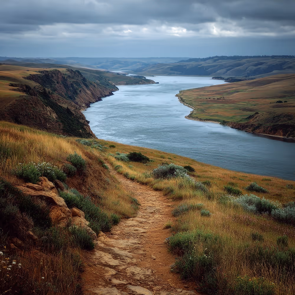
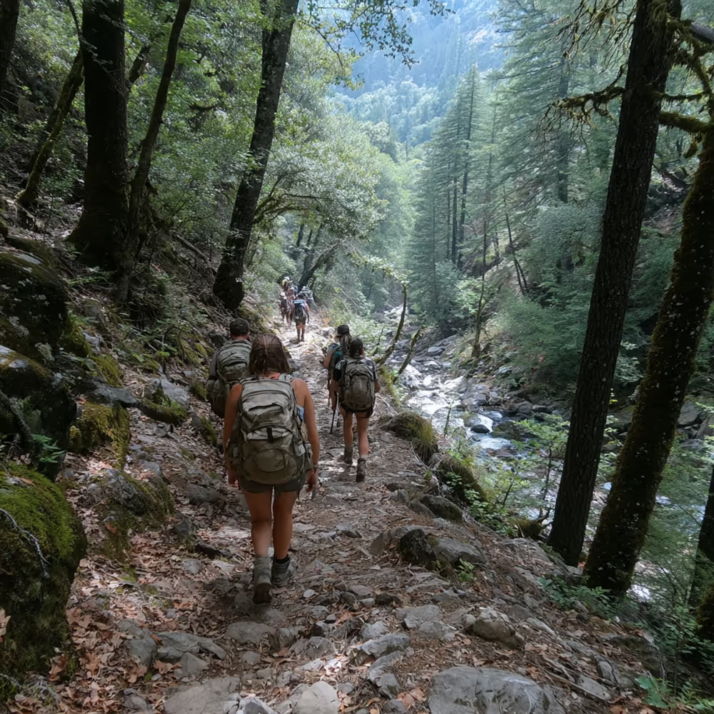
Hikes
Point Reyes National Seashore includes almost 150 miles of hiking trails, from short and gentle, to steep and challenging. This link is an excellent guide, describing the hikes and providing directions to the trailheads. All within 12 miles of Dancing Coyote Beach.
Trail Guide
Tomales Bay State Park offers several lovely easy hikes through gently sloping, wind-protected, beautiful woodlands that bring you close to or even across the Tomales Bay shoreline beaches. These trailheads are 5+ miles from Dancing Coyote Beach.
Bay Area Hiker: Tomales Bay
Tomales Bay State Park
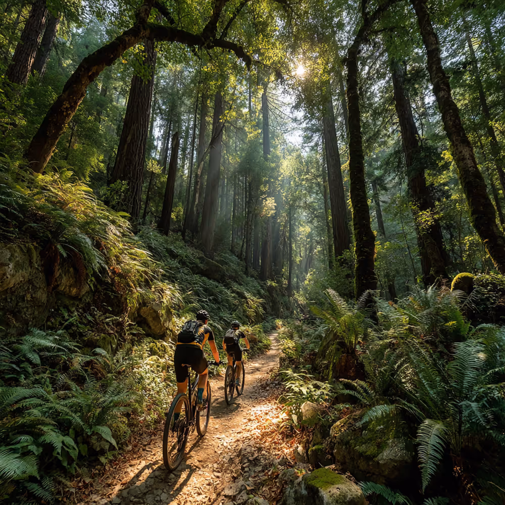
Biking
Road biking is popular on our small, windy and scenic roads. Please be careful in sharing the road. Mountain biking trails abound.
Mountain bike rentals are available from:
Point Reyes Outdoors
415-663-8192
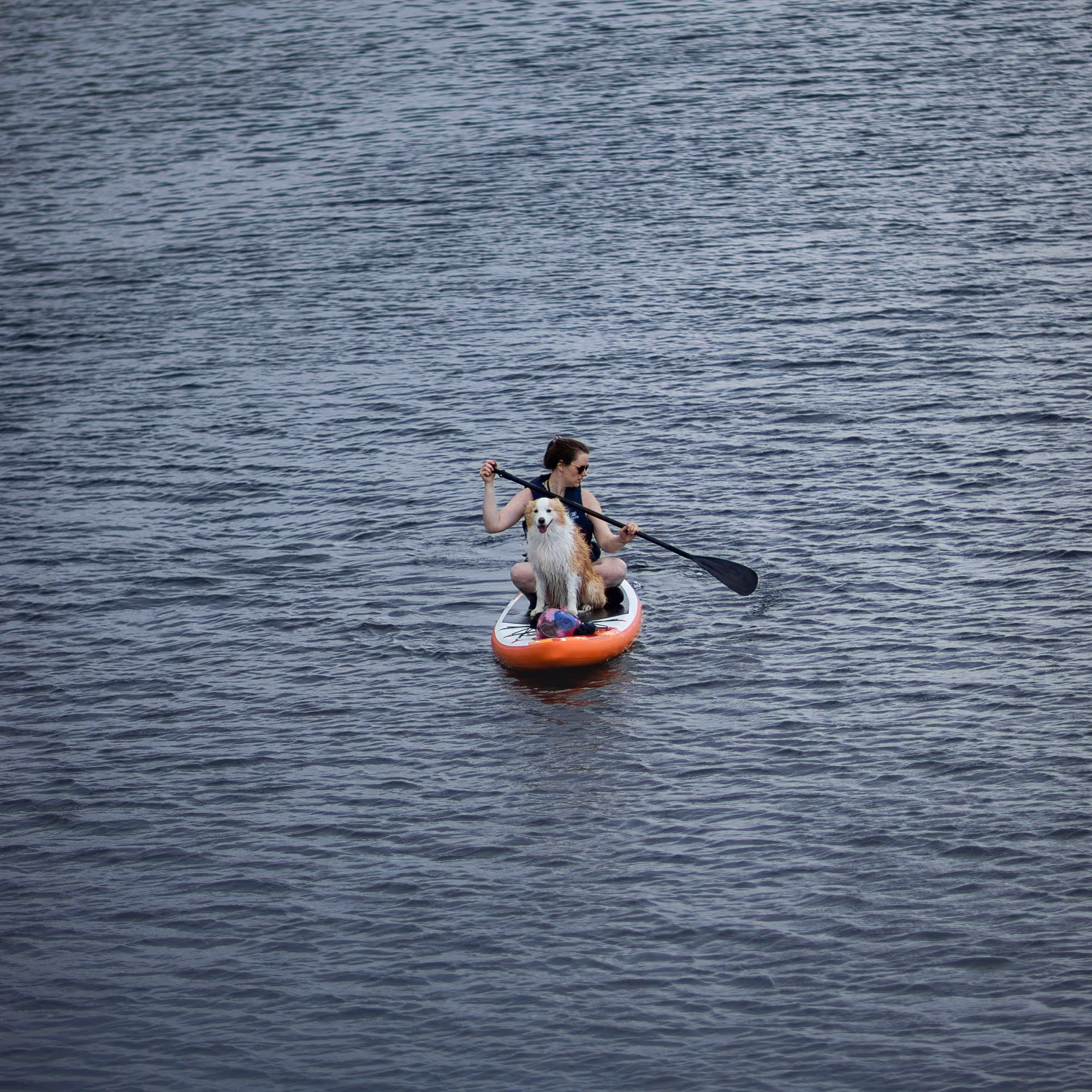
Kayaking
Wonderful kayaking in the ocean, estuaries and on Tomales Bay. Kayak adventures can include instruction and guides (private or group), or just rent kayaks to do your own thing.
Blue Waters Kayaking
Point Reyes Station
(415) 669-2600
Office is in Point Reyes Station; lessons and guided tours available from many different launch points.
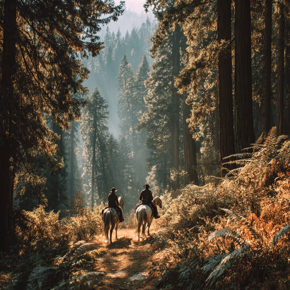
Horseback Riding
Five Brooks Stable is a full service riding stable with a concession to operate within Point Reyes National Seashore, specializing in guided trail rides for Park visitors.
Point Reyes Arabian Adventures
(707) 477-7181
Guided Hikes, Classes, Nature Education & Wildlife Viewing
Point Reyes National Seashore Association – Field Institute
An excellent array of classes and outings, to deepen your understanding of the natural world and of this area. Includes hikes, and arts and crafts as well.
Point Reyes Safaris
Wildlife viewing and wildlife photography safaris in beautiful Point Reyes National Seashore.
Point Reyes Tours
Get a tour of the Point Reyes wildlife by a Certified California Naturalist or Certified Interpretive Guide (with a maximum of 8 people). Tours last approximately 4.5 hours.
Spotted: gray whales, elephant seals, lots of birds.
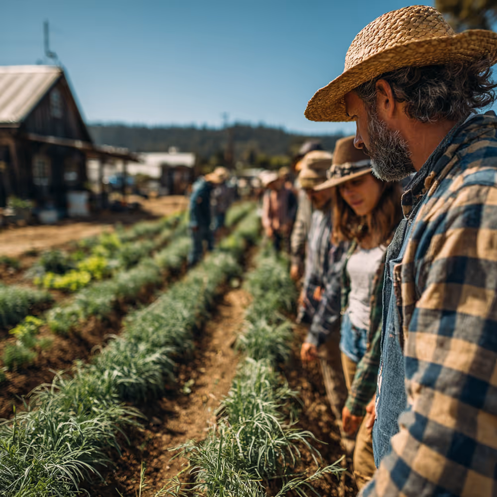
Food, Food & More Food
West Marin is heaven for food lovers. Small organic farms, naturally-raised beef, heavenly oysters, artisan cheese, wood oven-baked bread. It’s all here – in the restaurants, cafés, markets, and in many cases, right from the source.
Farm Tours
West Marin Food and Farm Tours
Excellent small group outings with Elizabeth Hill, a gracious and knowledgeable guide. Highly recommended for those who like to be taken care of, to kick back and let someone else do the driving!
All tours depart from Point Reyes Station, except the Oyster Lover’s Tour, which departs from Inverness.
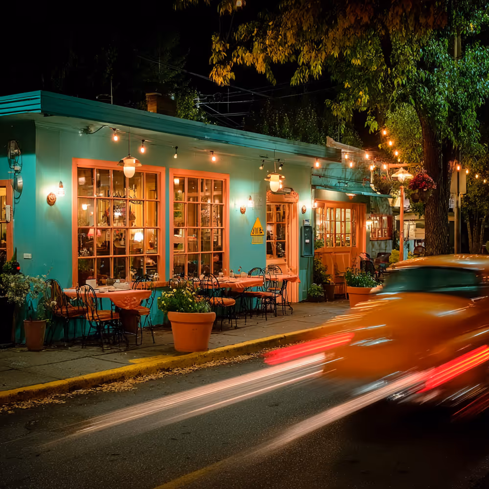
Restaurants
Restaurant seating is sometimes in high demand, so we suggest making reservations for the places that accept them, when you are able to plan ahead. Also, double check on days and hours of operation, which fluctuate with the seasons.
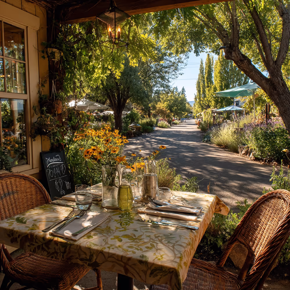
Saltwater Oyster Depot (and Restaurant and Wine Shop) | 415-669-1244
In “Downtown” Inverness, steps away from Dancing Coyote
12781 Sir Francis Drake Blvd, Inverness, CA 94937
Top quality, chill vibe, nice people. This place is all kinds of wonderful. Intimate room, fine food and wine. Reservations only for parties of 6 or more. Enjoy a glass of wine on the patio if you need to wait for a table or bar seating.
Closed through end of year.
The Tap Room | (415) 663-1491
Connected to Inverness Park Market
12301 Sir Francis Drake Blvd, Inverness, CA 94937
2.5 miles south of Dancing Coyote Beach
Serving dinner with a lovely wine selection with small batch, mostly organic wines, beers and such. The whole menu changes daily. Delicious, locally sourced food with a casual vibe.
Sunday - Friday: 4pm - 8pm
Saturday: 12pm - 8pm
Station House Café | 415-663-1515
11285 Highway One, Point Reyes Station
4+ miles from Dancing Coyote Beach
Open since 1964! Serving brunch, lunch and dinner, this café is a crowd-pleaser, with a broad menu offering something for everyone. Live music on Sundays at 5 p.m.
Closed Wednesdays
Monday, Tuesday, Thursday & Friday
Lunch: 11am - 3pm
Dinner: 4pm - 8pm
Saturday & Sunday
Brunch: 10am - 3pm
Dinner: 4pm - 8pm
Café Reyes | 415-663-9493
11101 Highway One, Point Reyes Station
4+ miles from Dancing Coyote Beach
Down home café, featuring really good wood oven-fired pizzas. Reasonably priced. Indoor and outdoor seating. No reservations.
Wednesday 5pm - 8pm
Thursday - Sunday 12pm - 3:30pm
Dinner: 5pm-8pm
Picnic Fare, Groceries and Dining In Your Cottage
Inverness Park Market
12301 Sir Francis Drake Blvd. Inverness Park
2.5 miles from Dancing Coyote Beach
415-663-1491 | Open Mon-Sat: 8am - 8pm. Closed on Sun.
We love this little market! A great place to grab a quick bite – to sit outside on a couple of curbside tables or take with you to the beach or trail. Also daily special take out dinner, if you want to dine in, and plenty of grocery selections if you want to cook.
Palace Market
11300 Highway One, Point Reyes Station
5 miles from Dancing Coyote Beach
415-663-1016 | Mon-Sat: 7 am to 9 pm. Sun 8 am-8 pm
West Marin’s one and only supermarket. Well-stocked for every need. Deli in the back for sandwiches


Seafood Shacks and Oyster Farms
Marshall Store | 415-663-1339
19225 Highway One, Marshall
13 miles from Dancing Coyote Beach
Great oysters (and other options), a seafood shack with charm and soul for days, right on the bay. For the full experience, dress warm to sit outside (although there is seating inside as well).
Hog Island Oyster Company | 415-663-9218
20215 Highway One, Marshall
13.9 miles from Dancing Coyote Beach
Open 9-5 daily for buying oysters to go, picnic reservations available daily from 10:30-5, and The Boat, the farm’s oyster bar, is open Fri-Mon: 11:30-4 p.m.
Tomales Bay Oyster Company | 415-663-1242
15479 Highway One, Marshall
9.7 miles from Dancing Coyote Beach
Open every day 9 a.m. to 5 p.m. Onsite picnicking welcome.
Coffee and Bakeries
Bovine Bakery | 415-663-9420
11315 Highway One, Point Reyes Station
5 miles from Dancing Coyote Beach
An institution! Bicyclists ride over the mountain with a cup of strong Bovine coffee and a pastry on their minds. Often a line out the door, but it moves quickly.
Mon-Fri: 6:30 am - 5 pm, Sat & Sun: 7 am - 5 pm
Toby’s Coffee Bar
11250 Star Route One, Point Reyes Station
5 miles from Dancing Coyote Beach
A treasured local hang. Great espresso and fresh pastries (be sure to try a Brickmaiden scone or biscotti). The coffee bar is inside of Toby’s Feed Barn, and everything about this place is worth exploring!
Every day: 6:30 am - 5 pm


Watering Holes
Old Western Saloon | 415-663-1661
11201 Highway One, Point Reyes Station
5 miles from Dancing Coyote Beach
The real deal rural dive bar – jukebox, occasional live music, a small dance floor and pool tables in the back. On the right night, this place becomes an old-school hootenanny.
Thurs - Sun: 12pm-12am, Fri & Sat: 12pm-2am
Annual and Seasonal Events
Our local celebrations are truly small town and delightful. If you are here on these dates, please consider joining us.
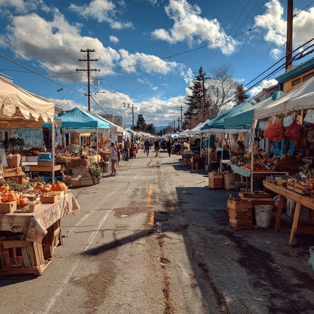
Point Reyes Farmers Market
Late June until early November, every Sat: 9 am - 1 pm. An award-winning, all organic, all local market, with great food, music and chefs demonstrations. Not to be missed!
At Toby’s Feed Barn - 11250 Highway One, Point Reyes Station
Western Weekend Parade
First Sunday in June at noon, a great little parade down the main street of Point Reyes Station, followed by the annual chicken barbeque. A classic event!
Path of Lights and Annual Craft Fair
First Friday of December at dusk in downtown Point Reyes Station. Many shops stay open late. Lots going on at Toby’s Feed Barn, right in the center of town. The Holiday Fair opens at the Dance Palace Community Center, and is open throughout the weekend.
At Point Reyes Open Studios
Memorial Day Weekend and a Fall Weekend
A chance to experience some of the bountiful artistic talent that thrives in West Marin. It’s fun to visit studios, which can take you up into the hills and to surprising locations tucked here and there.
Far West Fest
Annual summer music festival, voted Best in Marin. Check our local, non-commercial, listener-sponsored radio station KWMR for dates and details. KWMR is another great glimpse into our community. Tune in to 90.5 fm, or stream it online.
Inverness Fair
Annual summer event in August, right down First Valley, directly across from Dancing Coyote Beach. You can’t miss it!
Rainy Days
If you bring your rain gear, and are feeling hearty, you can still enjoy walking the beaches and trails in a light rain. Or driving out to Point Reyes North Beach, one can watch fabulous surf from the comfort of your vehicle. Here are some of our favorite alternatives to enjoy your time here on wet days. In addition to these, there are many lovely shops and several galleries to visit in Inverness Park and Point Reyes Station, as well as our local libraries in Inverness and Point Reyes Station. Here are a few suggestions:
Bear Valley Visitor Center | 415-464-5100
At Point Reyes National Seashore Headquarters
1 Bear Valley Road, Point Reyes Station
5+ miles from Dancing Coyote Beach
Open Weekdays from 10 am to 5:00 pm and
Weekends and holidays from 9 am to 5:00 pm, and until 4:30 pm in the winter months.
Jack Mason Museum of West Marin History | 415-669-1099
15 Park Ave (inside the Inverness Library), Inverness
One block from Dancing Coyote Beach
Open Mon: 3 - 6 and 7 - 9 pm
Tues & Wed: 10 am - 1 pm and 2 pm - 6 pm
Fri: 3 - 6 pm
Sat: 10 am to 1 pm
Gallery Route One | 415-663-1347
11101 Highway One, Point Reyes Station
5 miles from Dancing Coyote Beach
An excellent non-profit, community-based, artist-run gallery, with several exhibition spaces.
Open 11 am - 5 pm
Closed Tuesdays
Shopping
Coyuchi | (415) 663-8077
11101 Highway One, Ste 201, Point Reyes Station
5 miles from Dancing Coyote Beach
Coyuchi is one of our favorite shops in town because it's where we get many of our organic linens for Dancing Coyote Beach. The shop has both a retail section and an outlet with deeply discounted items. Get 20% off your purchase of $200 or more.
Open Fri - Tues: 11am - 5pm
Closed on Wednesday and Thursday.
Vita Collage | 415-663-1160
11275 State Route 1 Point Reyes Station, CA 94956
This is just a beautiful boutique, full of lovely & unique things for your home and your person.
Hours: (always good to double check as they change)
Mon & Wed: 11am - 4pm
Thurs - Sun: 11am - 5pm
Closed on Tuesday
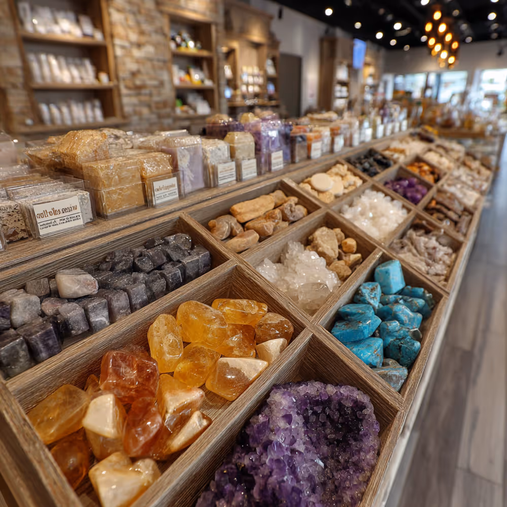
Spirit Matters | (415)-663-8699
12307 Sir Francis Drake Blvd., Point Reyes Station, CA 94965
This is a very special shop full of magical items that stir the soul. They have an extraordinary collection of crystals and all manner of high vibration wares. A one of a kind shop that is a joy to visit.
Hours:
Fri - Sun: 11am - 5pm
Evenings Out
If you find yourself looking for a little something to do in the evening, check out the excellent cultural offerings of our community center and bookstore, both in Point Reyes Station. Some events are during the day as well.
Dance Palace Community and Cultural Center
Point Reyes Books